July 12th field blog
Field Notes- water testing and logging monitoring
The New River Watershed
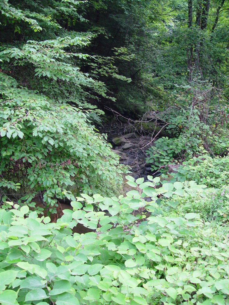
Site CA:
Date: July 12th, 2006
Bottle Number:CA
High Res Pic Numbers: 1-6
Mine/Landslide/site your scouting: not applicable
What Road are you on? Dutch Valley Rd. From route 330 on the south side of the New River Watershed- 3 miles North on 330 from the intersection of 330 and route 61
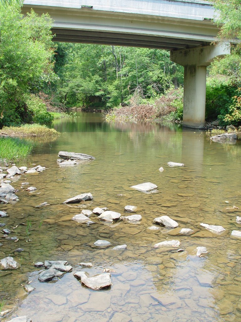
Physical characteristics of where you are testing near: in the middle of the river RR is going overhead, and the stream is parallel to the rd
July 12, 2006
mileage: 101,631
GIS coordinates: N 36 ° 02.853? W 084 ° 18.838?
Altitude: 783 ft
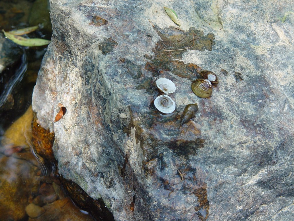
Fish/animals/insects: frogs, snails, mussels, wasps and blue and silver minnows, pigeons, water bugs
Soil Smell: not noticable
Appearance of stream: trickling stream flowing into river, lots of green algae, sedimented, earthy orange, roacks are slimy and slippery,
Turbidity: 10 JTU
Temp: 26 °
Any Plants that you can identify: queen annÂ’s Lace, grasses in and out of water, butterfly bush, purple and white flowers, mimosa, honeysuckle
Site Number: CB
Date: July 12, 2006
Bottle Number: CB
High Res Pic Numbers: 7-13
Mine/Landslide/site your scouting: N/A
What Road are you on? Hoskins Gap rd , On 330, 5 miles north of route 61
Physical characteristics of where you are testing near: poplar creek flows under the road.
mileage: 101, 633
GIS coordinates: N 36° 03.578? W084 ° 18.288?
Altitude: 850-870 ft
Fish: lots of fish

Soil Smell: not noticable
Appearance of stream: brown water, black algae, soil is sandy, sedimented on bottom, trash in water
Turbidity: 10 JTU
Speed: 1.5 speed on a scale of 1-5
Temp: 26°
Any Plants that you can identify: purple bell-flowers, sumac trees, maple trees
Date: July 12th , 2006
Site Number:CC
Bottle Number: CC
High Res Pic Numbers: 14-16
Mine/Landslide/site your scouting: not applicable
What Road are you on? Hoskins Gap Rd, ½ mile down the rd 330
Physical characteristics of where you are testing near: one large bridge, another large, crosses smaller tributary, to poplar creek


mileage: 101,633
GIS coordinates: N 36 ° 03.560, W 084 ° 18.800
Altitude: 849 ft
Flow: very slow a 0.5 on a scale of 1-5
Fish: none seen
Soil Smell: stagnant dirty and musty
Appearance of stream: heavily sedimented, sandy dirt that is blackish brown,
Turbidity: 20 JTU
Temp: 25 °
Any Plants that you can identify: mimosa, grasses on bank
Conductivity: N/A
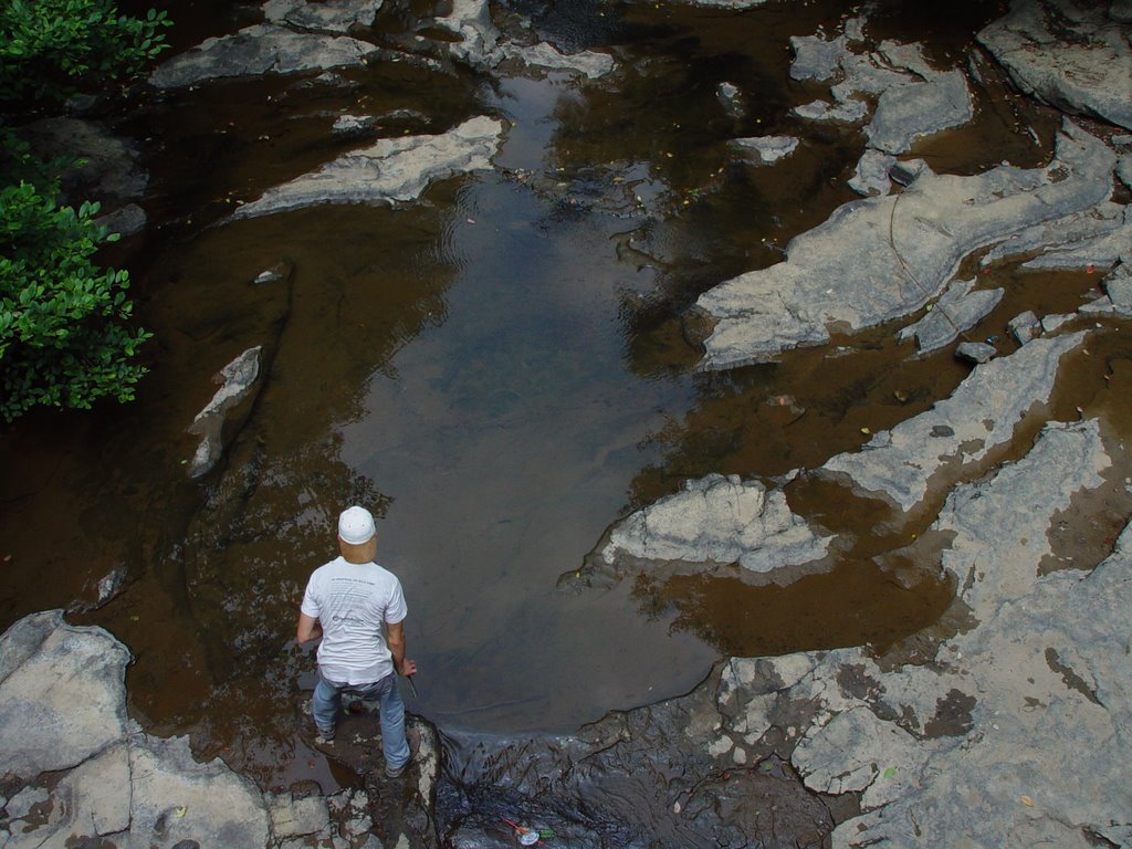
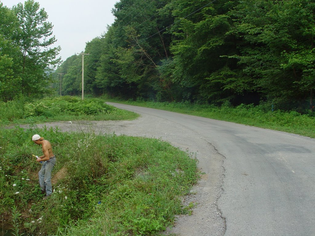
Part of this day ventured onto Ivydale Rd in La Follette. From I-75 take 25W at the Lake City exit to La Follette. In La Follette go to through the town on 25W, pass 1st st. and turn left onto Indiana Ave. Cumberland park is immediately on the left. There is a fresh water spring there in the first parking lot to the right. Past the park Ivydale rd is on the left. Go over a bridge, and drive up.
Date: July 12th 2006
Site Number: CD
Bottle Number:CD
High Res Pic Numbers: 23-24
Mine/Landslide/site your scouting: Ivydale
What Road are you on? Ivydale
Physical characteristics of where you are testing near: left hand side of the rd, use the coordinates
Mileage: 101,670
GIS coordinates: N 36° 24.065, W 084 ° 08.414
Altitude: 1330
Fish: none seen
Soil Smell: not noticeable
Appearance of stream: rocky, quickly moving, clear water
Turbidity: 20 JTU
Temp: 20°
Any Plants that you can identify: pokeberries, kudzu, grass, wild roses, moss on rocks in shade
Date: July 12, 2006
Site Number: CE
Bottle Number: CE
High Res Pic Numbers: 25 + 26
Mine/Landslide/site your scouting: Ivydale
What Road are you on? Ivydale
Physical characteristics of where you are testing near: dying maple tree, powerlines over the stream, crossroad,
Mileage: 101,671
GIS coordinates: N 36 ° 24.455, W 084 ° 09.204
Altitude: 1640 ft
Fish:
Soil Smell/type: brown, clayed, dry
Appearance of stream: green with sediment, orange floaty gunk, grey black algeae,
Turbidity: 5 JTU
Temp: 25 °
Any Plants or animals that you can identify: plantain grasses, water grasses, clover, frogs, clover
Conductivity:
posted by petunia @ 7:35 PM
0 comments
![]()
